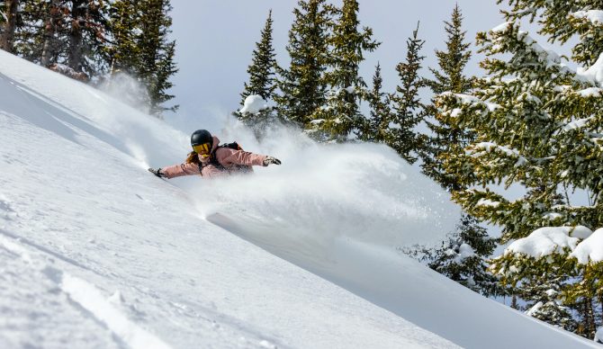
Hana Beaman, in deep at Steamboat. Photo: Ikon Pass
Winter is back in a big way. Last week we ran a report from Powderchasers calling for “feet” of snow on the U.S. West Coast. Well, that storm mostly came to fruition, delivering high-quality, low density pow to many resorts from the Sierra to the Cascades. This week, the storm track looks like it will deliver even more snow – especially in the Pacific Northwest.
“The week ahead will be very very deep in the PNW (Coastal BC) with 2-5 feet likely, especially for Washington and Oregon,” wrote Powderchasers in its most recent report. “Moderate leftovers will aim towards the interior of BC and the northern panhandle of Idaho with 12-15 inches in the next 24-48 hours. Northern Montana will also stay in the flow. The Tetons finally get back on the map with double digits with the Wasatch and northern Colorado scoring.”
As for the Sierra you ask? It’ll be very similar to the last storm, according to PC, with the Sierra Crest grabbing anywhere from 10-18 inches in the next few days. So yes, that means from north to south of the lake, it’ll be solid including Palisades and Kirkwood. Woot!
The one notable drawback to this storm is it will come with some high winds. Especially Monday night into Tuesday. There could be road closures due to drifting snow (“could”) and the backcountry will be treacherous with wind-loaded slopes. Storm surfing on the chairs is advised until high pressure sets in.
For the full report, please visit the experts at Powdercasers.com.

